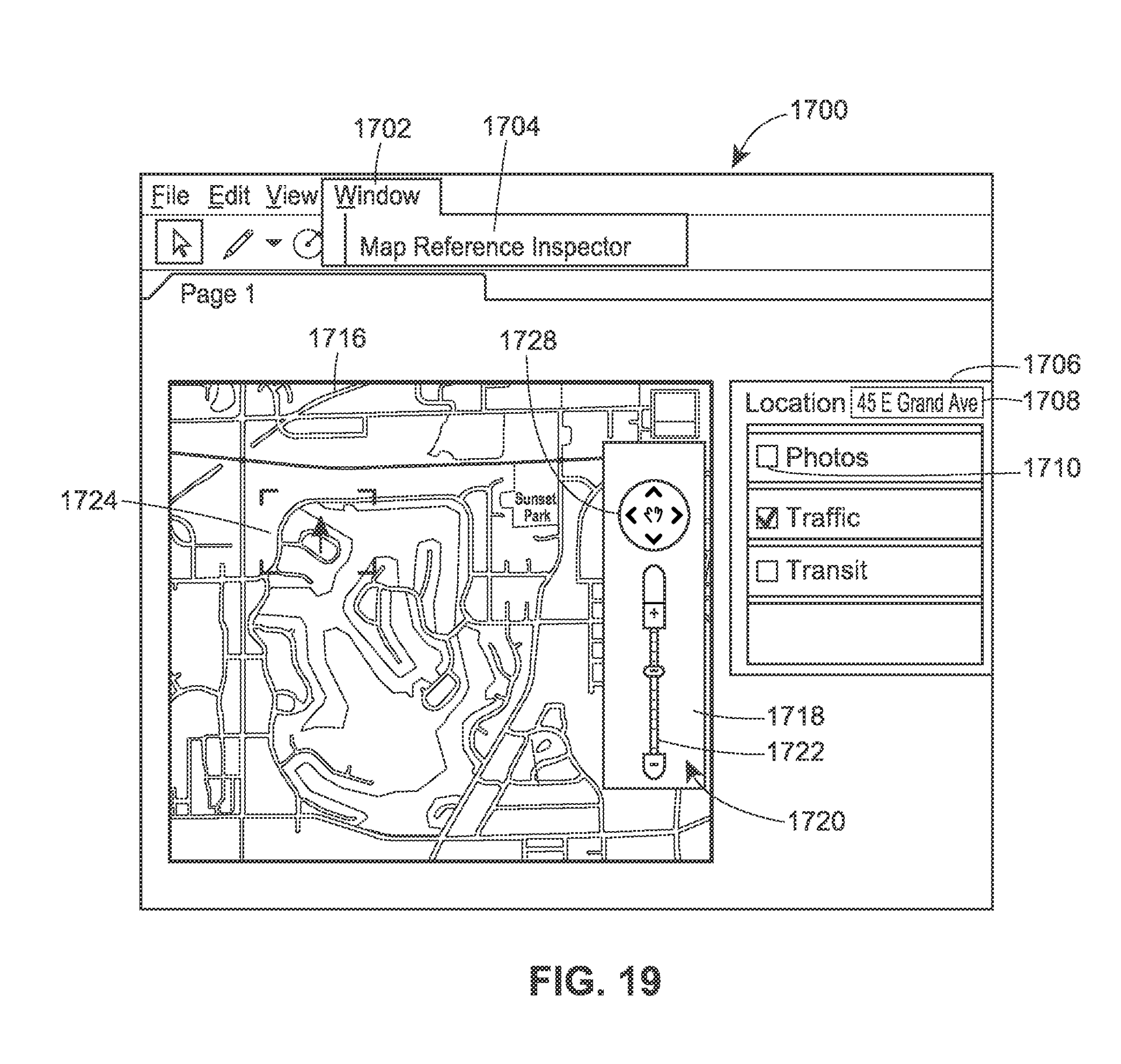
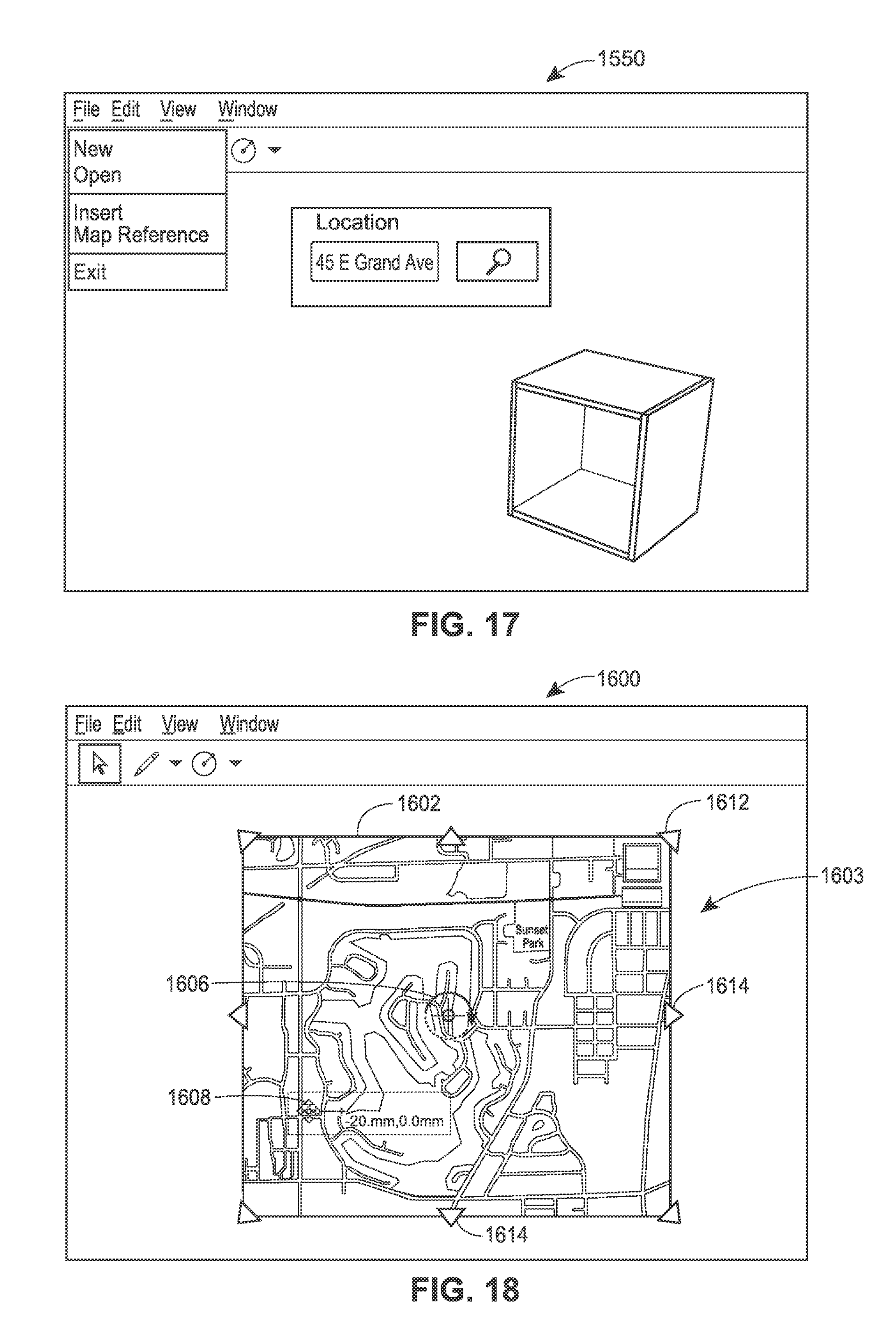
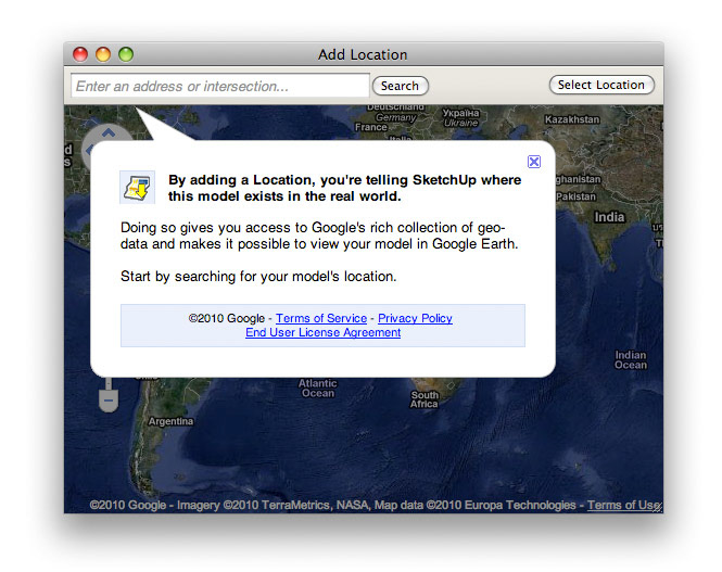
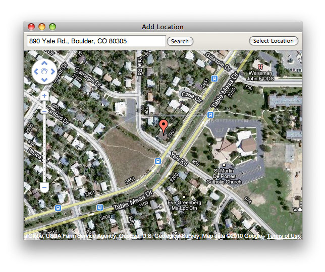
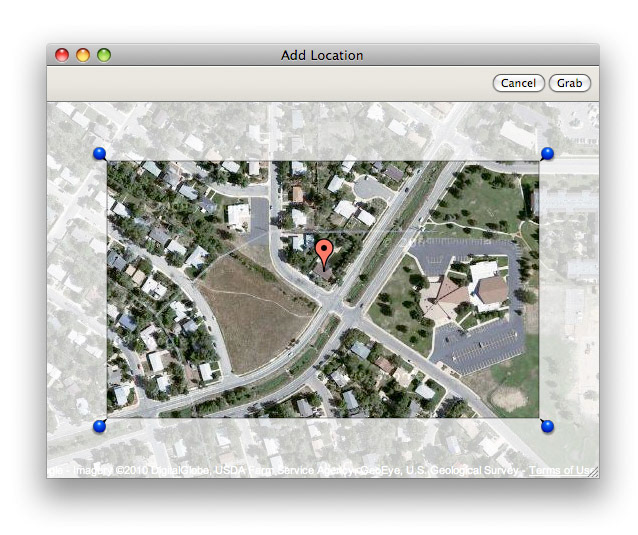
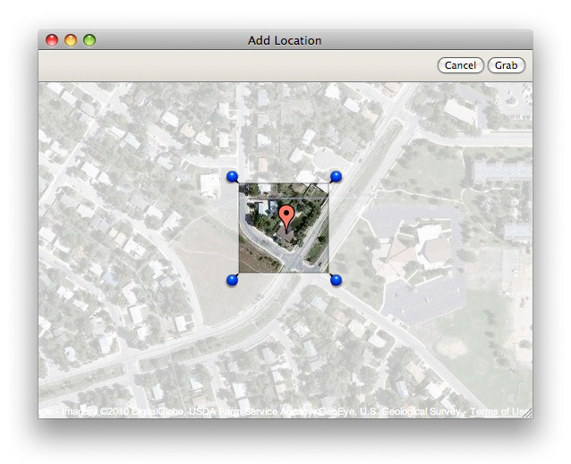
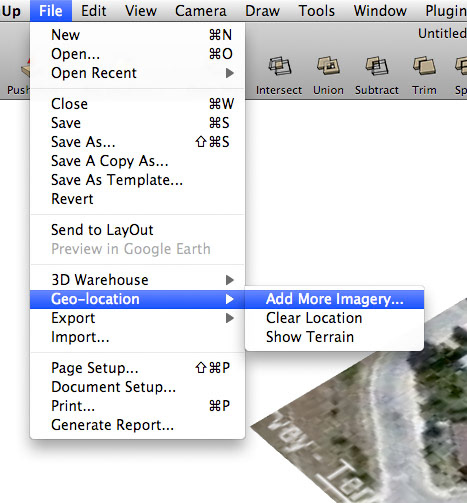
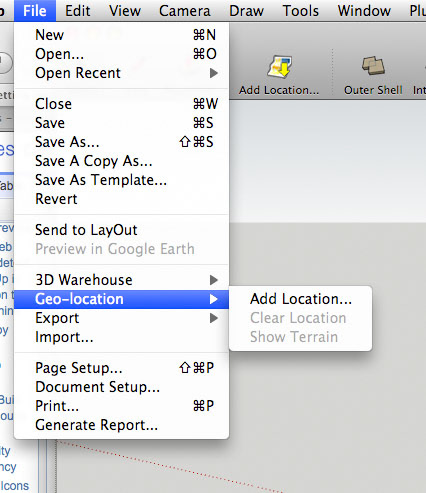
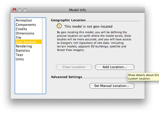
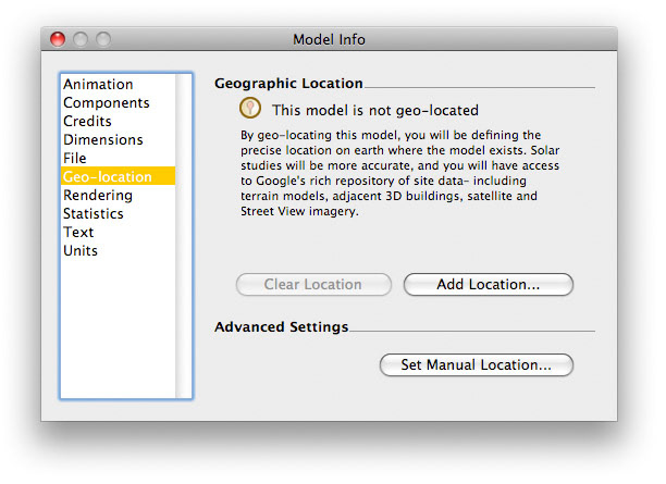
Shortly after the SketchUp team joined Google's Geo group, we built an integration between SketchUp's architectural modeling environment and Google's substantial repository of spatial geodata. Surfaced through an interface called "Add Location," SketchUp arguably pioneered a user interface for context-aware modeling that has subsequently been duplicated in AEC CAD products across the market. I think we did this one first, though, and we did win supporting patent for the effort as it related to the LayOut application. Ironically, we never implemented the feature there.
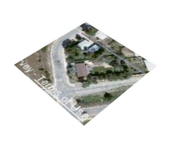
These images document the status quo in the SketchUp client application in about 2010, though the effort began earlier and continues in a new form today in all variations of the SketchUp modeler.
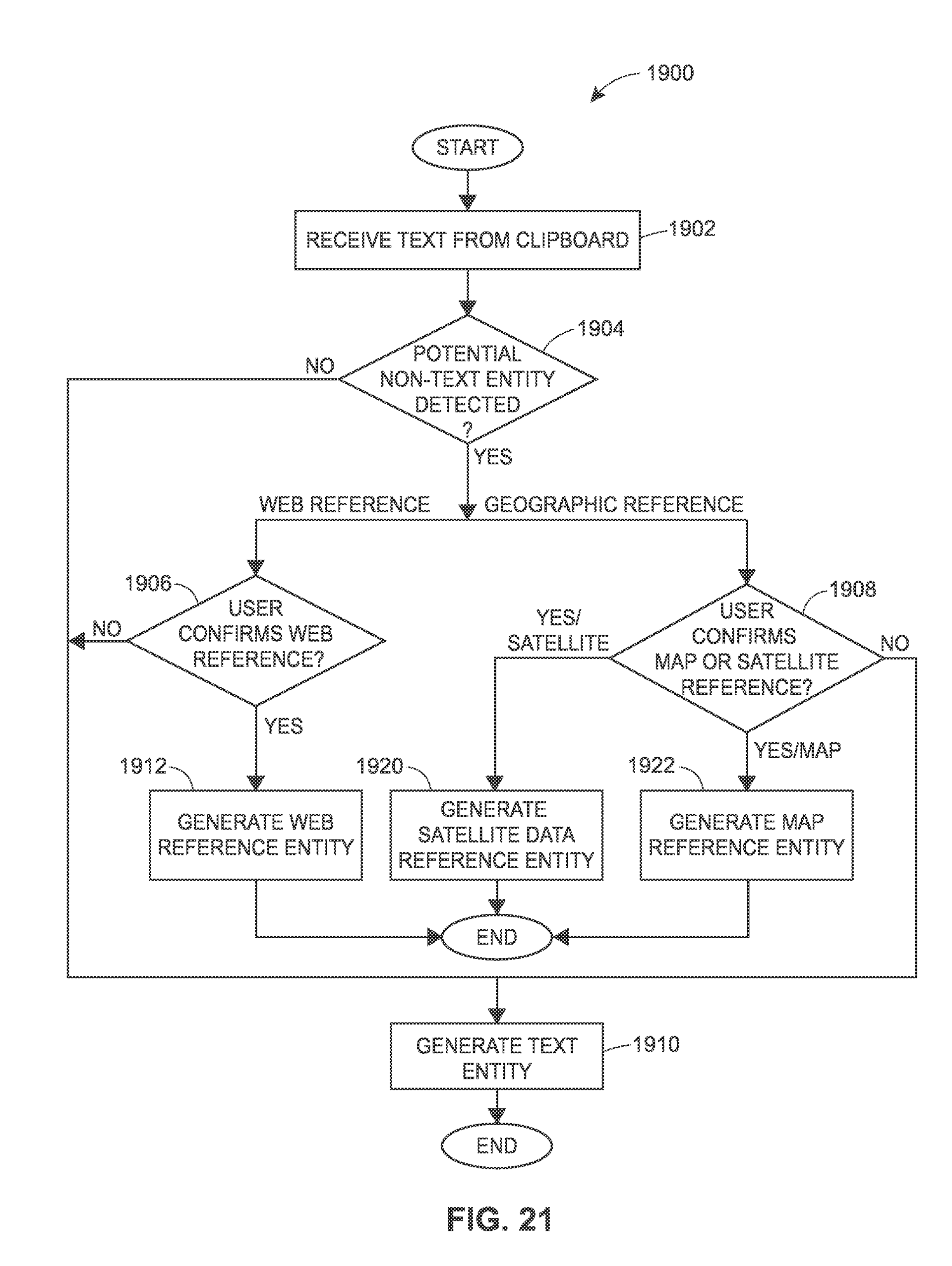
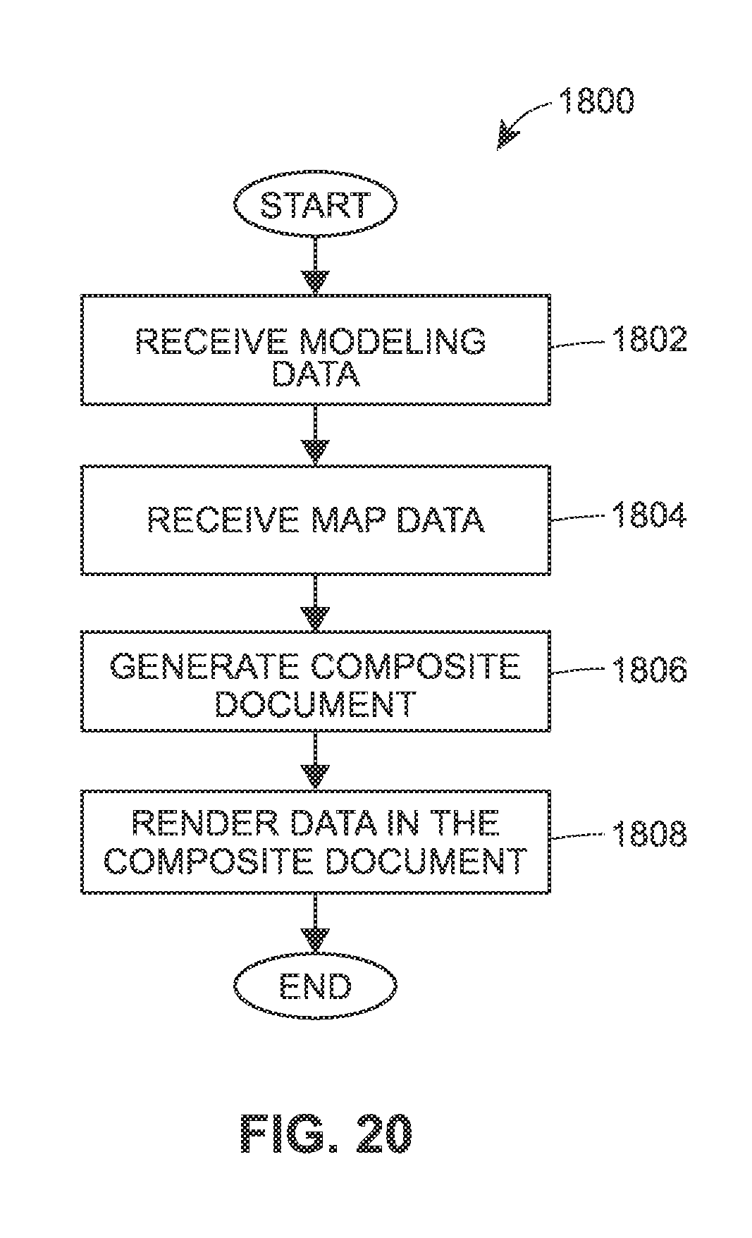
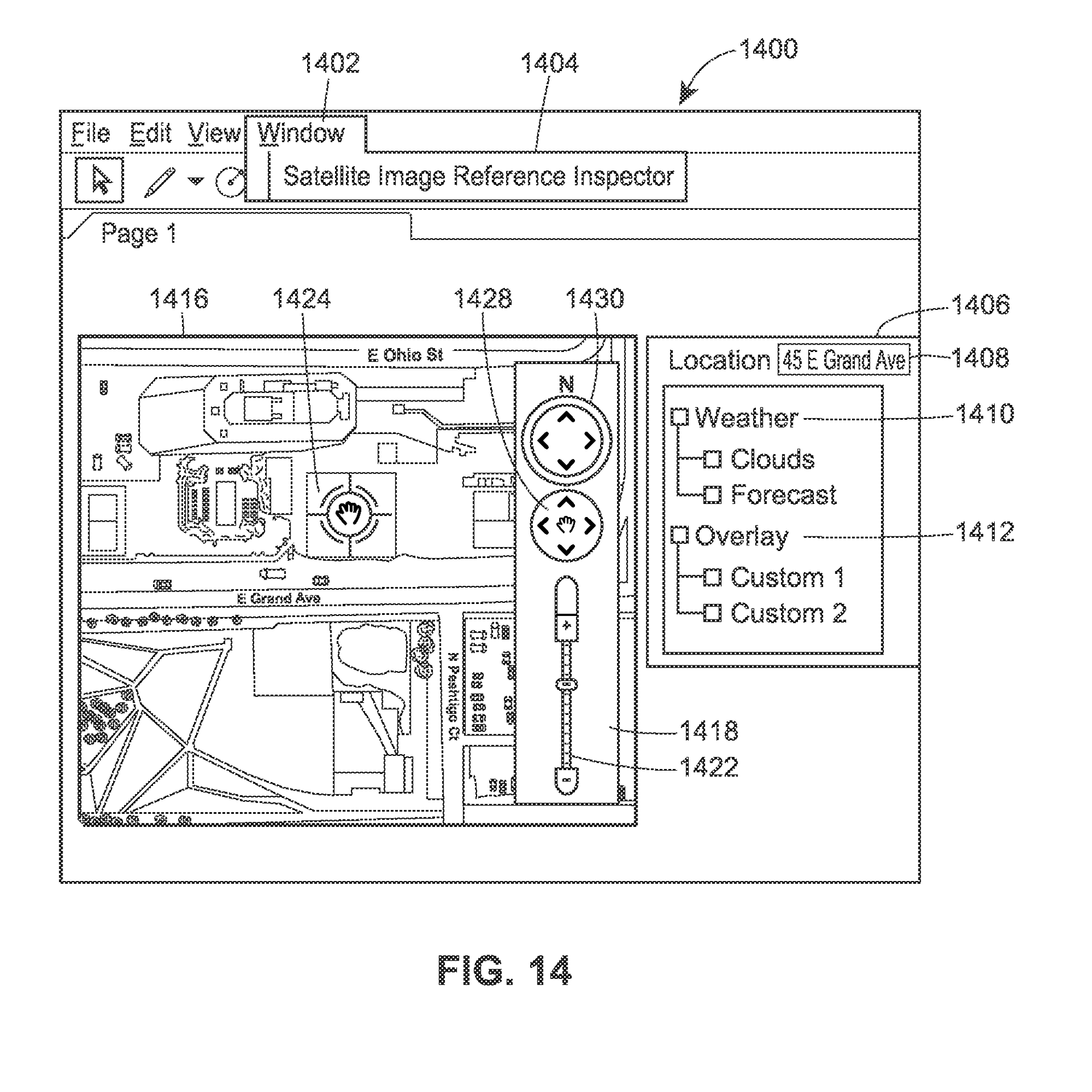
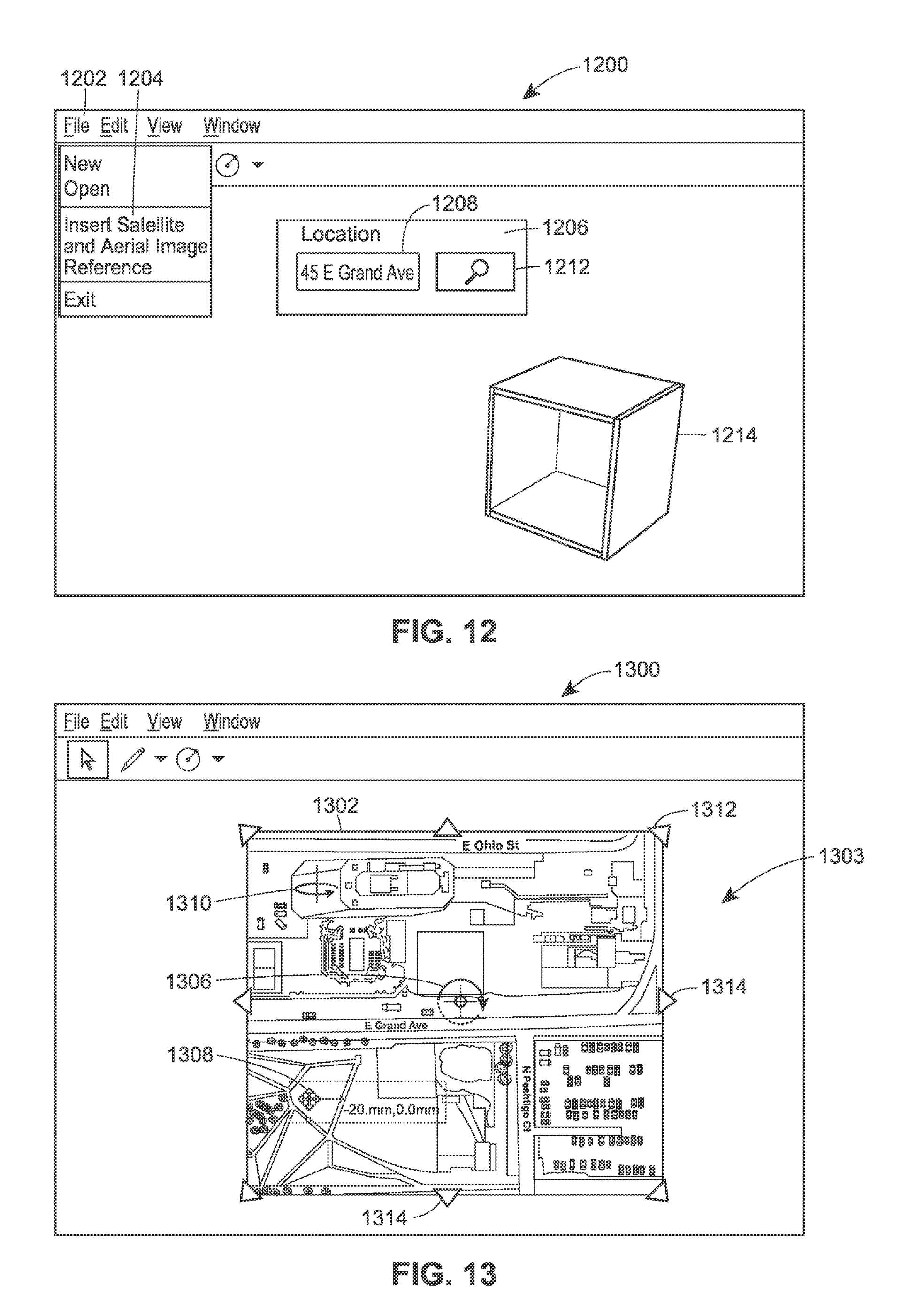
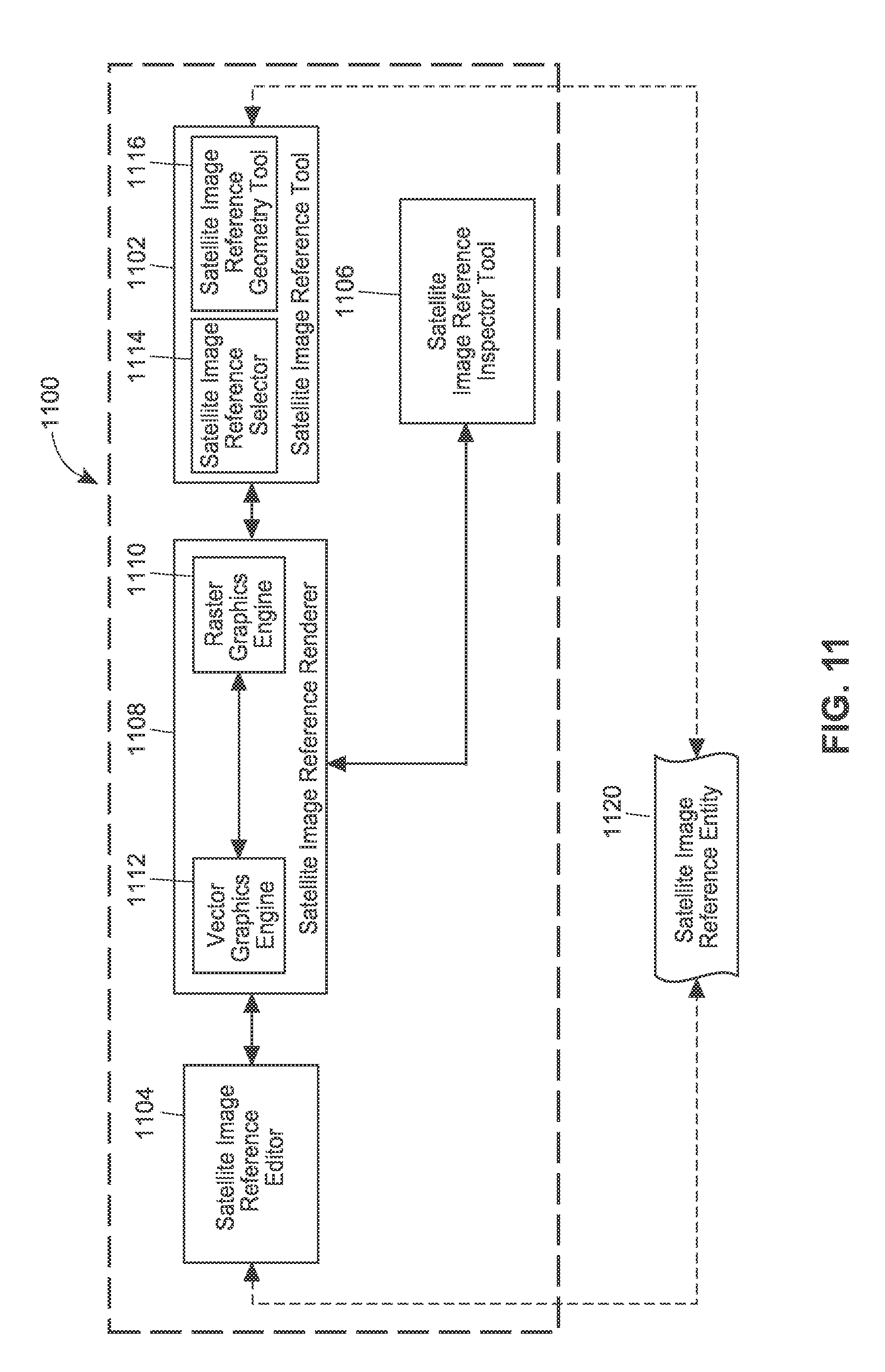
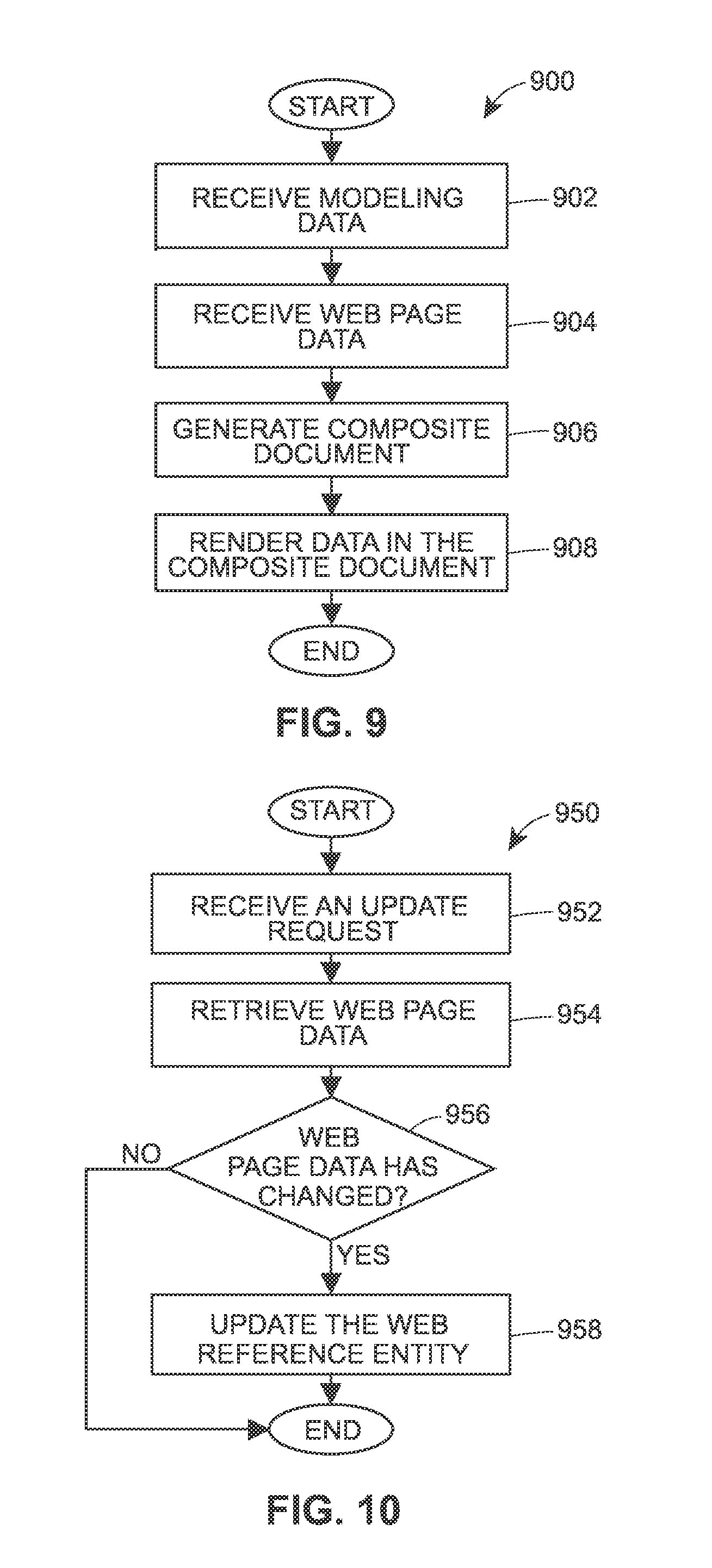
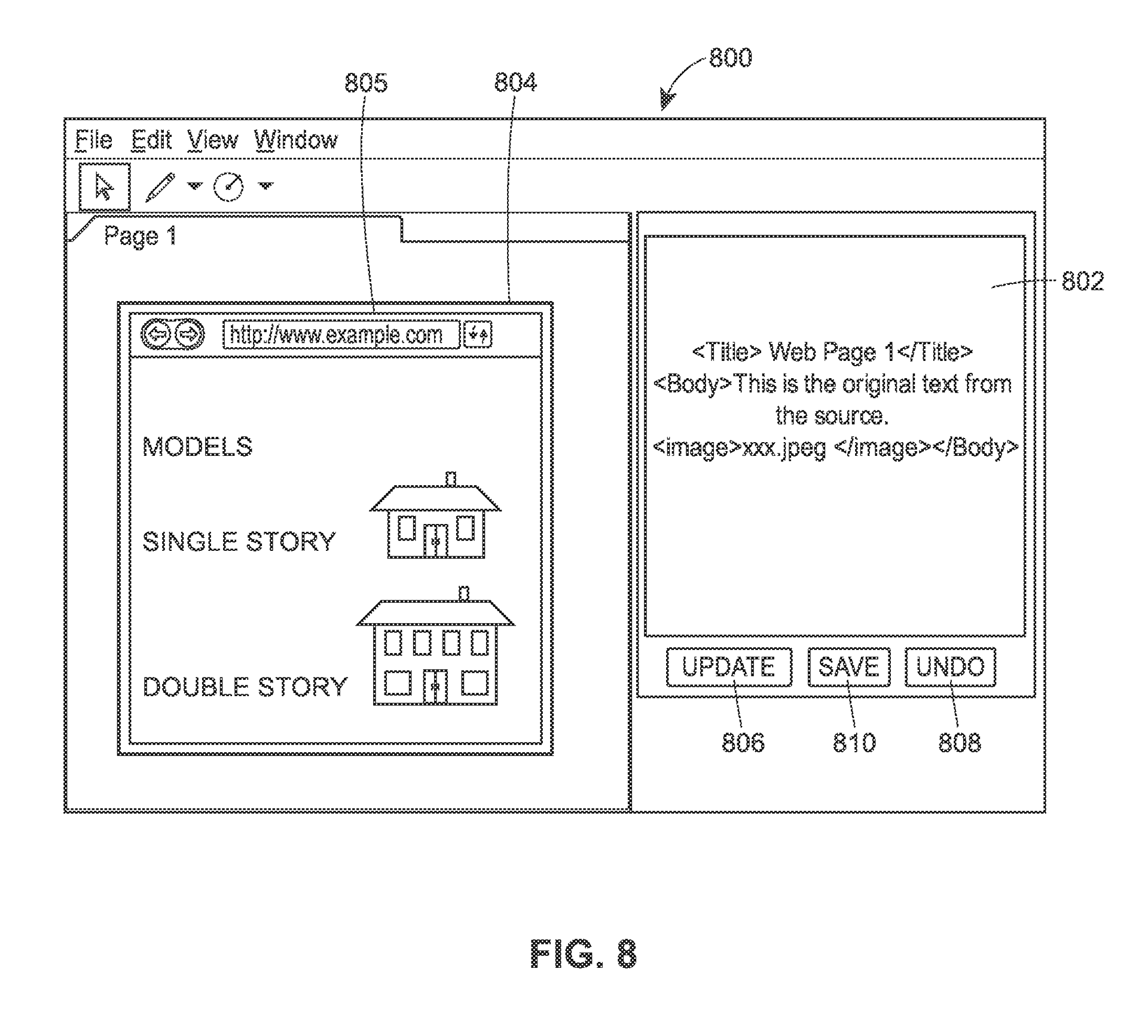
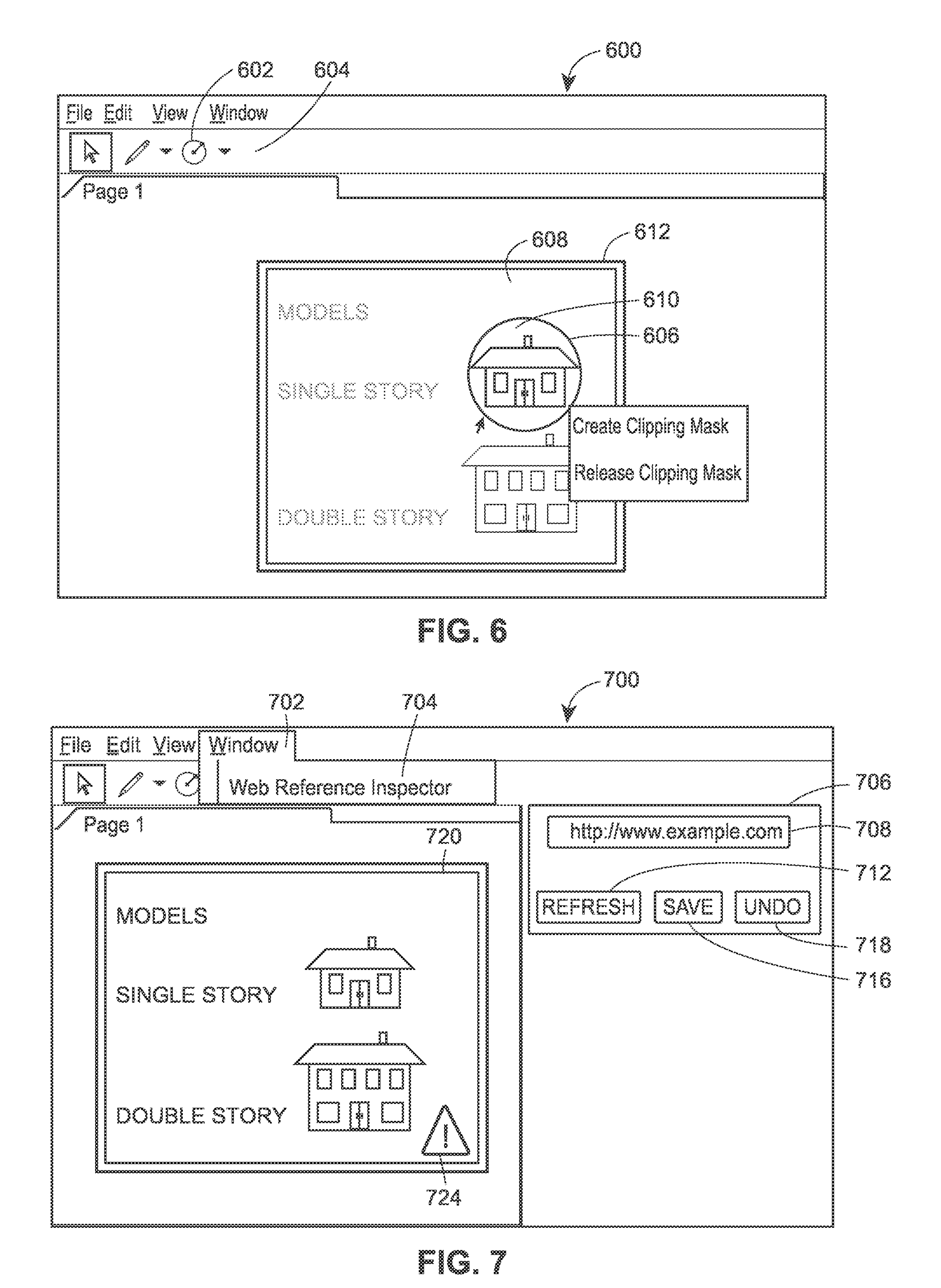
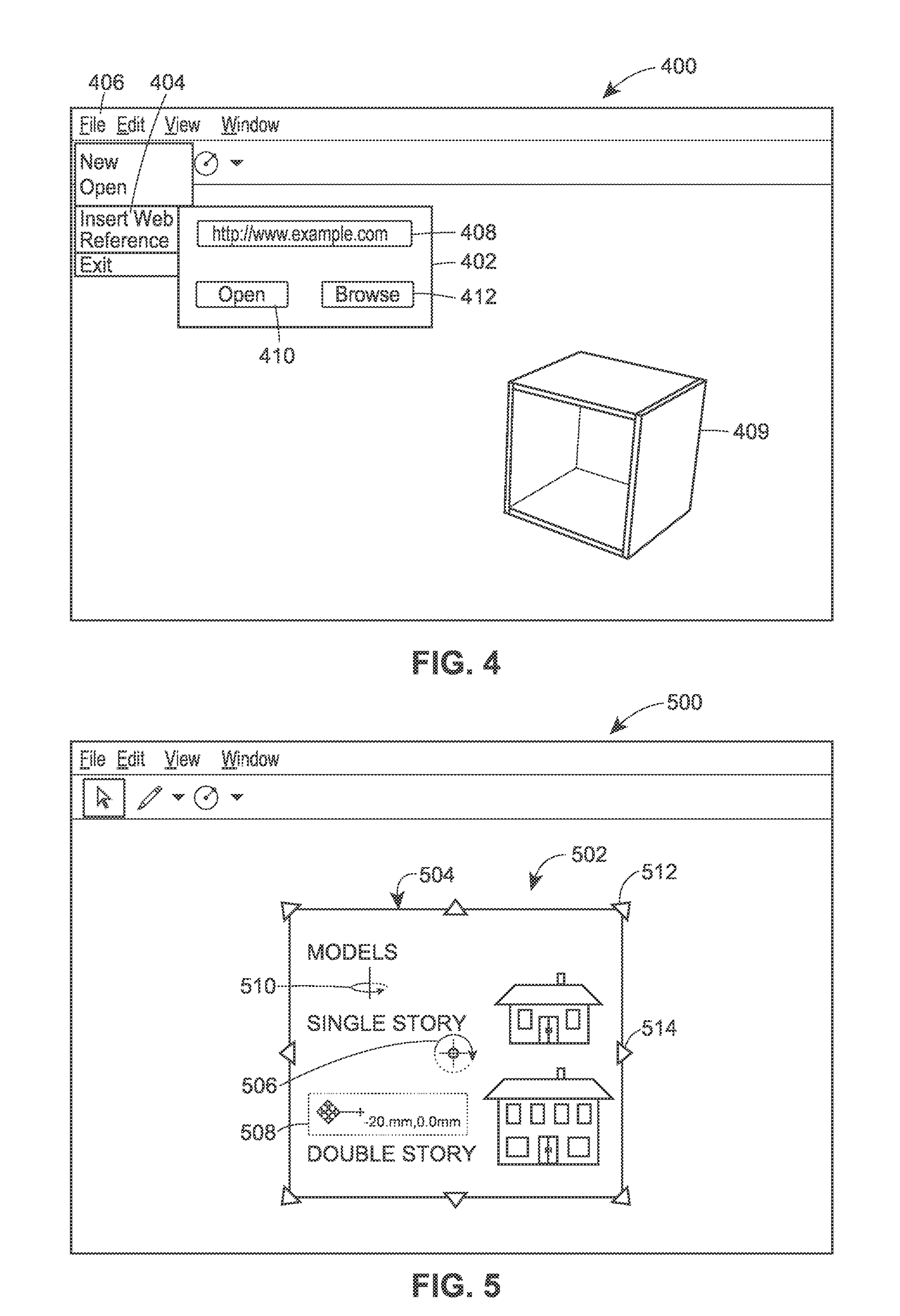
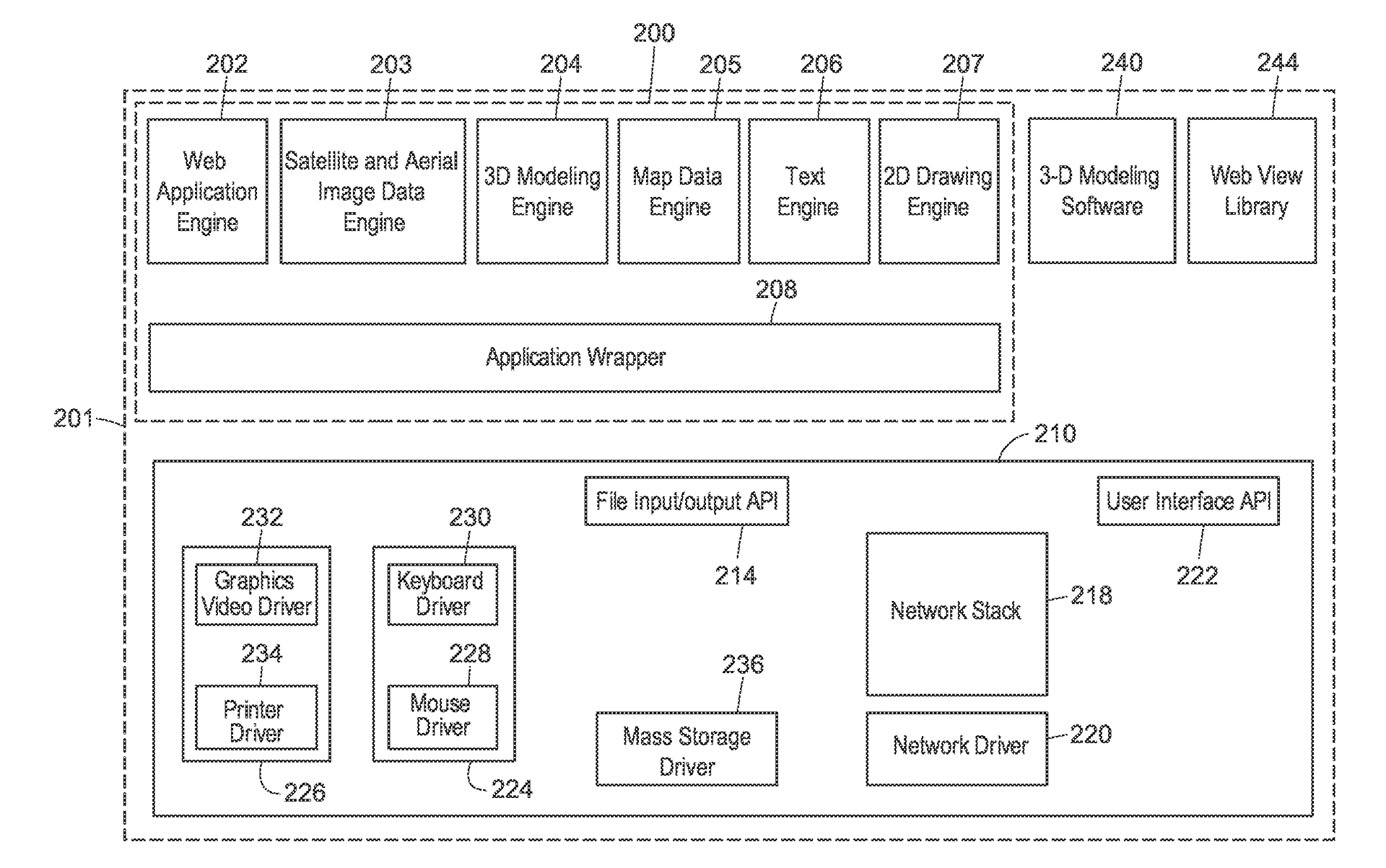
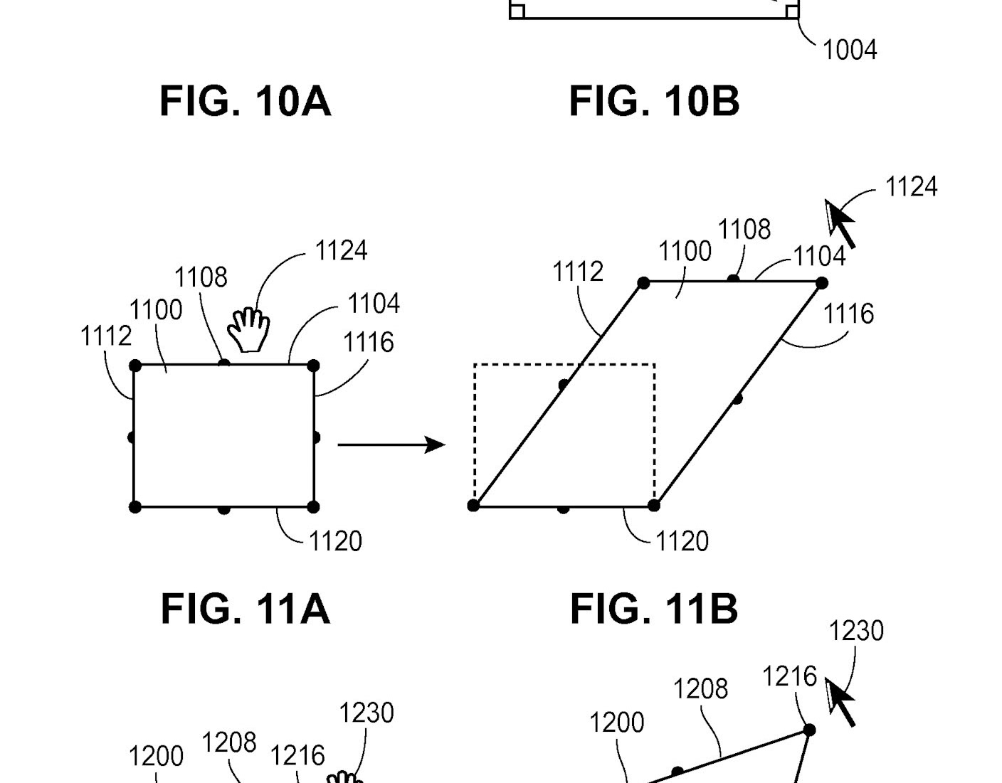
US20130007575A1: A method in a computing device includes causing a set of drawing controls to be displayed on a user interface, where a user utilizes the set of drawing controls to define two-dimensional shapes via the user interface, receiving drawing data from the user interface, where the drawing data includes a plurality of two-dimensional shapes, and generating a drawing image corresponding to the received drawing data. The method further includes receiving a reference to a geographic location from the user interface, retrieving map data corresponding to the received reference in response to receiving the reference to the geographic location, and generating a composite document that includes the map data and the drawing image.